
Development And Construction
Development & Construction Surveying in Sonoma, Marin, and Napa Counties
Every development project depends on data that holds up under pressure. From the first topographic survey to the final as-built check, BC Land Surveying supports developers, contractors, and engineers throughout Sonoma, Marin, and Napa Counties with the precision that keeps schedules on track. Our licensed team translates architectural and engineering plans into accurate field data, staking, and mapping that contractors can build from with confidence. We know that a missed deadline on one survey can ripple through permitting, financing, and construction timelines, so we move at the pace your project requires. Whether you're planning a subdivision, staking a commercial build, or mapping slope conditions on a hillside parcel, our team delivers data you can build on, backed by 80+ years of combined surveying experience.
Development & Construction Services
Development and construction projects move through distinct stages, and each one calls for a different kind of survey data. Our Development & Construction services cover the full lifecycle, from early site planning through active construction, giving your project team accurate, decision-ready information at every phase.
01
Topographic Surveys
Topographic surveys capture elevation, terrain, and site features with precision, giving engineers and architects the groundwork they need to design grading, drainage, and layouts with confidence.
02
Construction Staking
Construction staking translates approved plans into physical reference points on the ground, guiding contractors through grading, foundations, and utility installation with accuracy at every stage.
03
Subdivision Surveys
Subdivision surveys divide land into new legal parcels in compliance with California's Subdivision Map Act, giving developers the documentation needed to move projects toward approval.
04
Land Development Mapping
Land development mapping supports entitlement and planning processes with clear, accurate site data, helping developers and agencies move projects through review and approval with confidence.
05
Slope Analysis Maps
Slope analysis maps document terrain gradient across a site, supporting grading plans, drainage design, and environmental review for hillside and sloped development projects across the region.
WHY CHOOSE US
Why Developers Choose BC Land Surveying
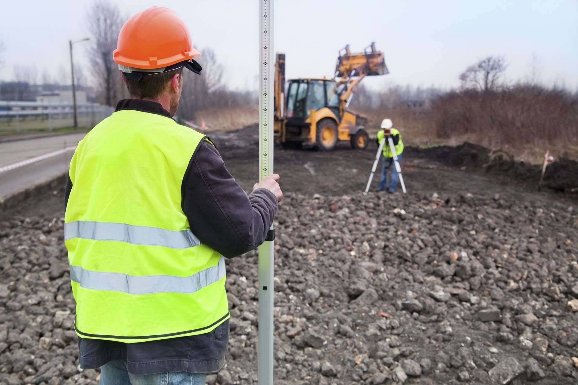
Development projects run on tight sequencing. A late topographic survey delays design. A delayed staking crew delays grading. A missed subdivision filing delays approval. BC Land Surveying was built around that reality. Our founders managed development and engineering projects themselves before starting this firm, and understand how much a build depends on a surveying partner who moves at the project's pace.
Our licensed Professional Land Surveyors bring 80+ years of combined experience to every phase of your project, from early site planning through active construction. We coordinate directly with your engineers, architects, and contractors, so staking, mapping, and grading data arrive when you need them. When conditions on site don't match the plan, our team finds a workable path forward instead of stalling the job. That's data you can build on, from a partner who keeps pace with your project.
Frequently Asked Questions
Development and construction surveys raise practical timing and process questions. Here are answers to what developers and contractors across Sonoma, Marin, and Napa Counties ask most.
How far in advance should we schedule construction staking?
We recommend scheduling as soon as your grading or building permit is in hand, ideally two to four weeks before you need crews on site. Larger developments with multiple structures or phases need more lead time to coordinate staking around your construction schedule. Booking early keeps stakes ready when your contractor is ready to move, and avoids costly downtime waiting on survey crews.
What's the difference between a topographic survey and construction staking?
A topographic survey comes first. It maps existing elevation, terrain, and site features so your engineers and architects can design grading, drainage, and building placement. Construction staking comes later, once those plans are approved. It translates the finished design back onto the ground with physical stakes marking exact locations and elevations for your contractor to build from.
Do subdivision surveys work differently across Sonoma, Marin, and Napa Counties?
The Subdivision Map Act applies statewide, but each county and city has its own review process, submittal requirements, and timelines for approving parcel maps and final maps. Our team works directly with planning departments across all three counties, so your subdivision survey is prepared to match local requirements from the start, which helps avoid delays during agency review.
Why does hillside development need a slope analysis map?
Sonoma, Marin, and Napa Counties all regulate grading and construction on steep terrain, and agencies often require documented slope data before approving a project. A slope analysis map shows terrain gradient across your site, which informs grading design, drainage planning, and environmental review, and helps your engineering team avoid redesigns later in the process.
Can BC Land Surveying handle multiple phases of the same project, from planning through construction?
Yes. We work with developers from the initial topographic survey through construction staking and final documentation, often across multiple phases of the same project. Staying with one surveying team keeps your data consistent from phase to phase, reduces coordination gaps between your engineers and contractors, and means fewer surprises as the project moves toward completion.